Much work has been done on the trail over the past months. Here’s a trail update for July:
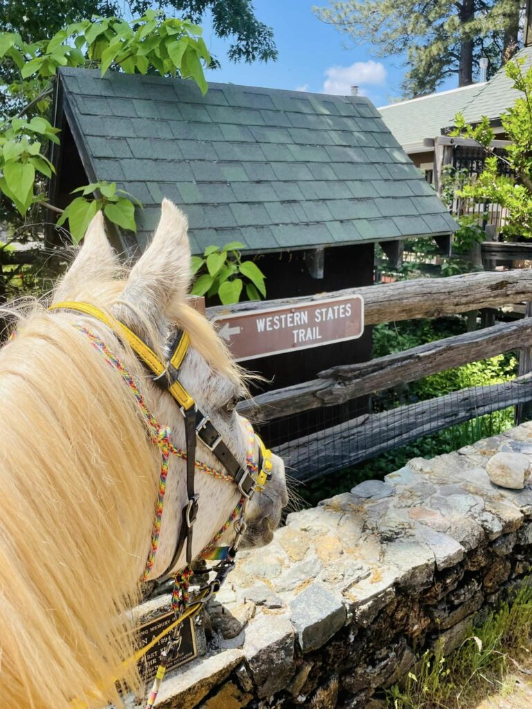
Robinson Flat
By the end of may, there was still 5-6 ft of snow for the Western States Training Run over Memorial Weekend, causing a certain amount of anxiety as to if the snow would even melt in time:
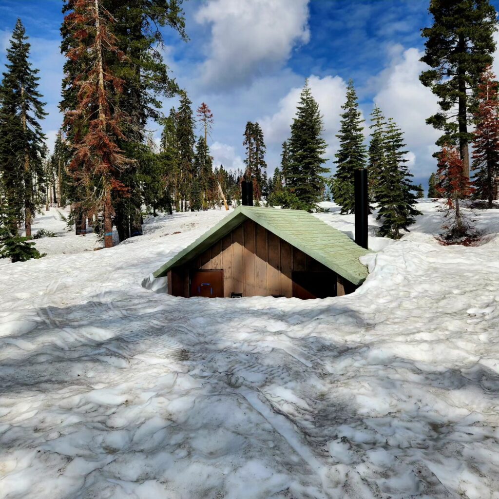
Thankfully, melt it did, and although Robinson Flat still has restrictions due to logging in the campground, the area is snow-free and open for business.
Road 43 leaving Robinson Flat has only been open since late June and is currently the main access route to get to French Meadows Reservoir (due to the fire-related closure of Mosquito Ridge Road). This is also currently the only access route to Dusty Corners and Last Chance, limiting access and meaning crews aren’t allowed at Dusty Corners this year.
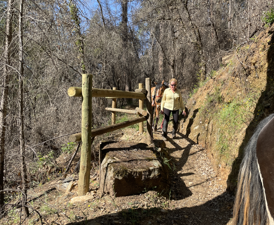
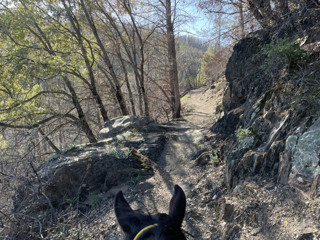
Pucker Point Trail
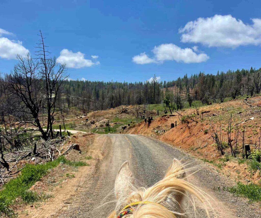
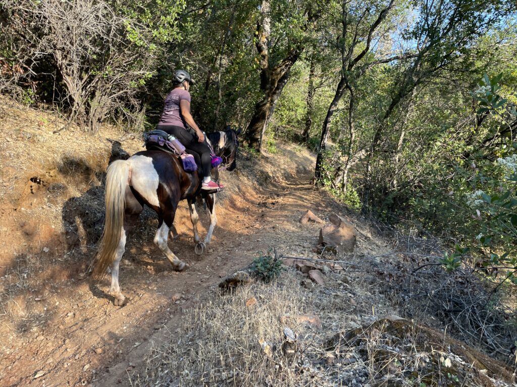
This trail has had some hard times over recent years – suffering from being burned over and trampled by free-range cows. As a result, for the past few years the Ride has bypassed it – but thanks to a recent make-over the trail is ready to go for this year’s Ride.
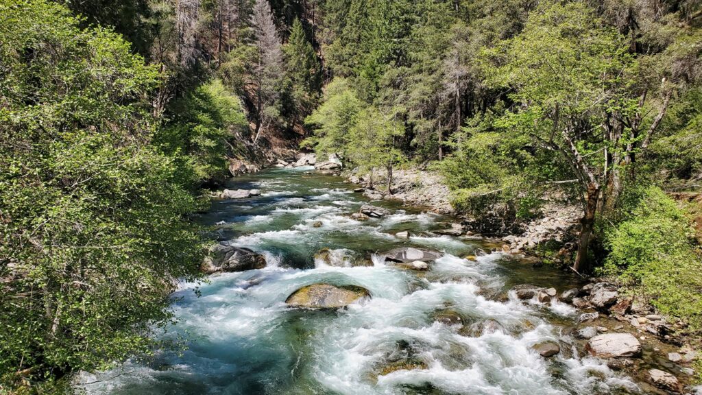
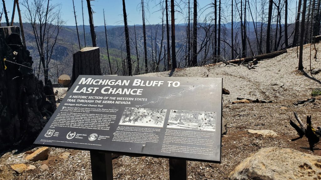
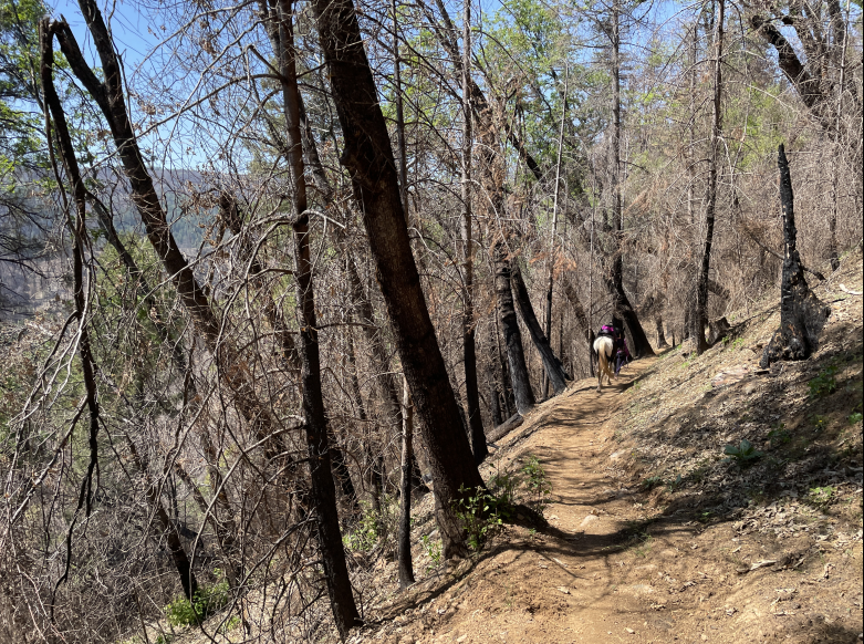
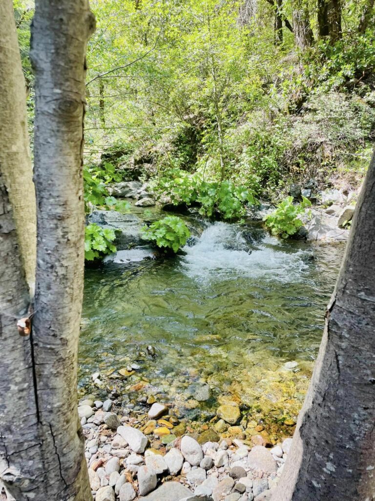
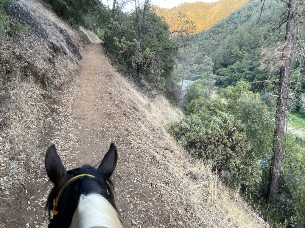
Last Chance to Swinging Bridge
Thankfully, the Mosquito fire of September 2022 did not affect the east side of the canyon and Swinging Bridge.
(Video of the river under Swinging Bridge in Mid May)
The WSTF was awarded an American Trails Legacy Trails Program Grant towards 2023-2024 continued restoration of the historic trail between Last Chance and Michigan Bluff. While the trail is ready for this year’s ride, this funding will help for advanced improvement and long term drainage features to prevent future erosion.
Devil’s Thumb
A conscious effort was made to save the immediate area around Devil’s Thumb and it is relatively unscathed by the fire.
Deadwood:
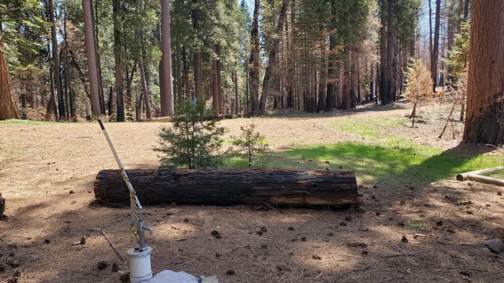
Deadwood well pump alive and well:
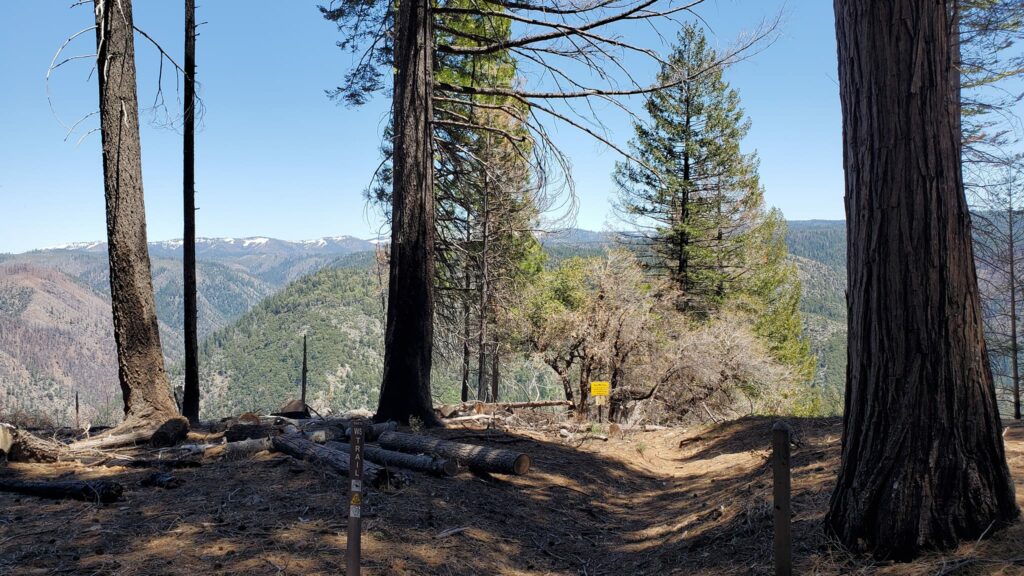
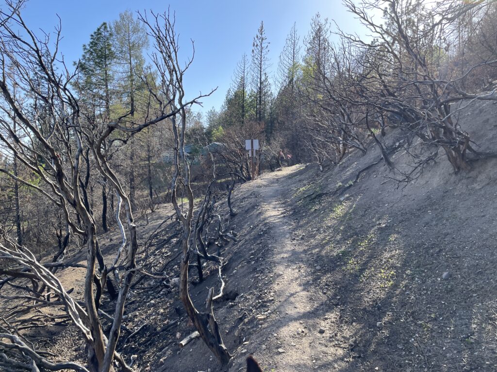
The burn scar between Deadwood vet area and the cemetery is a stark reminder of the Mosquito Fire. This area burned hot and fierce – but the silver lining is that the poison oak has been reduced.
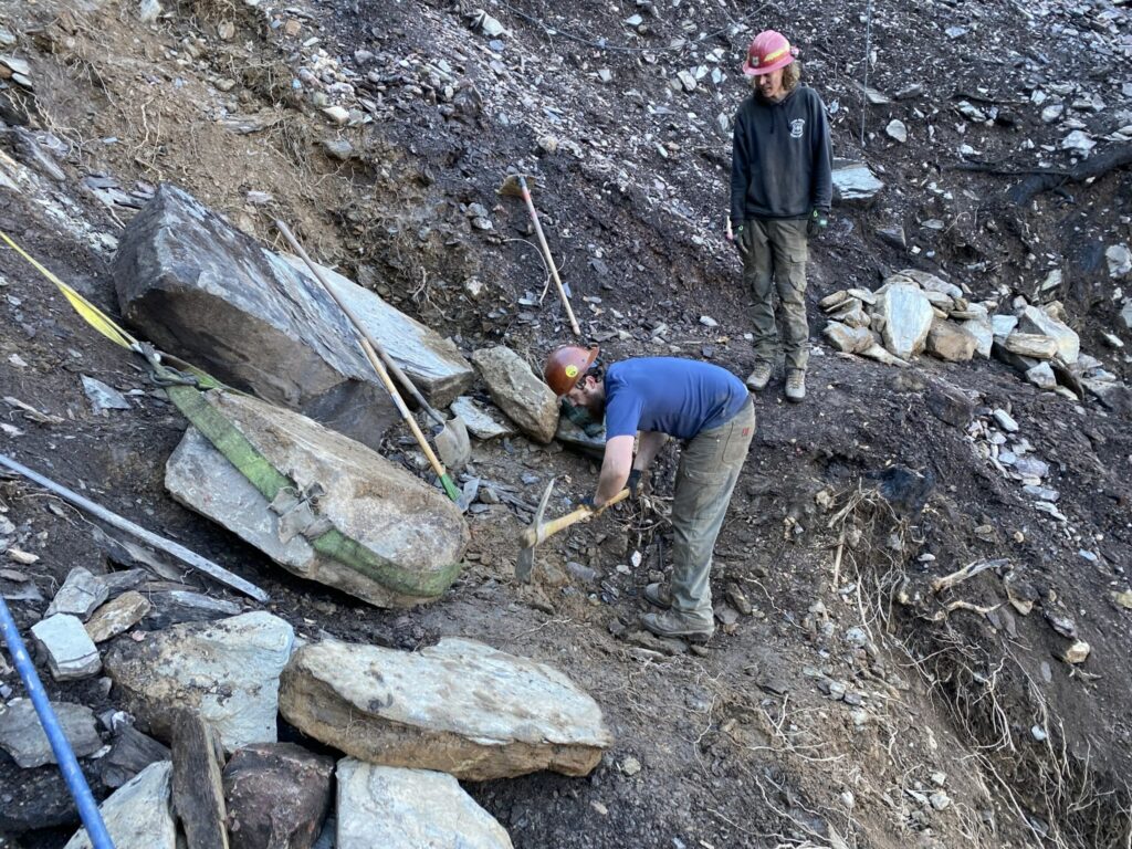
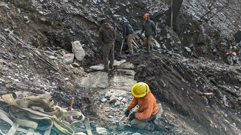
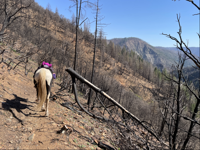
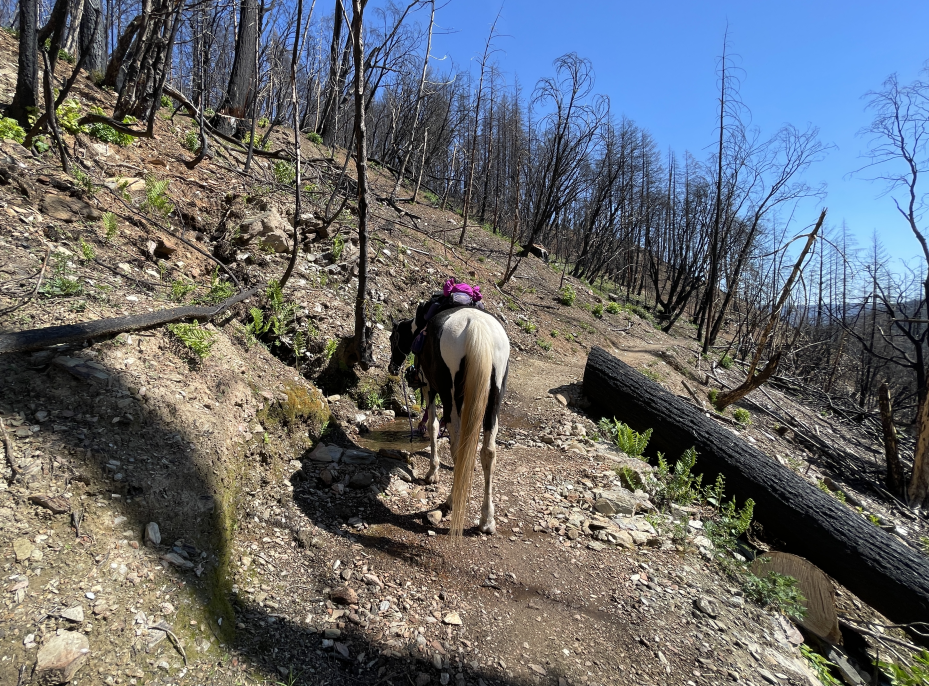
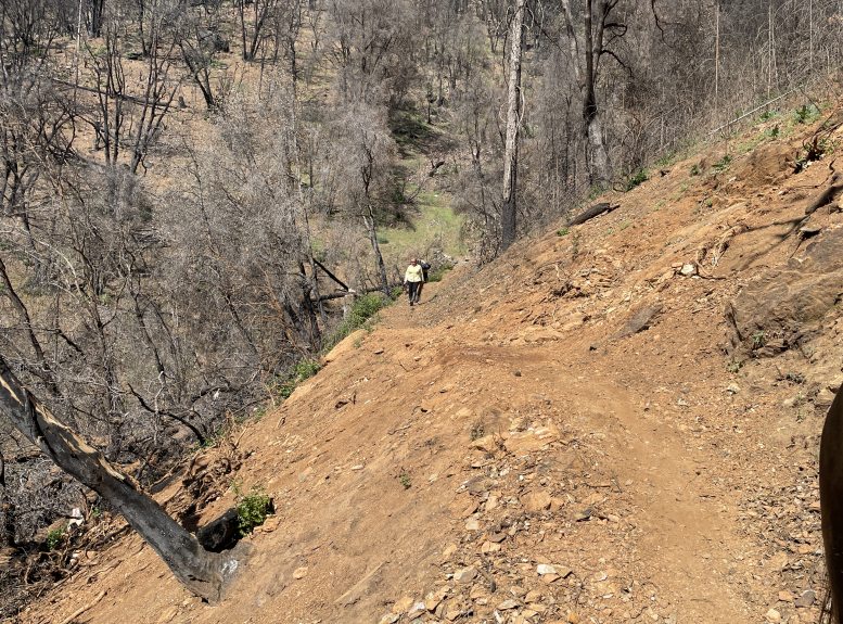
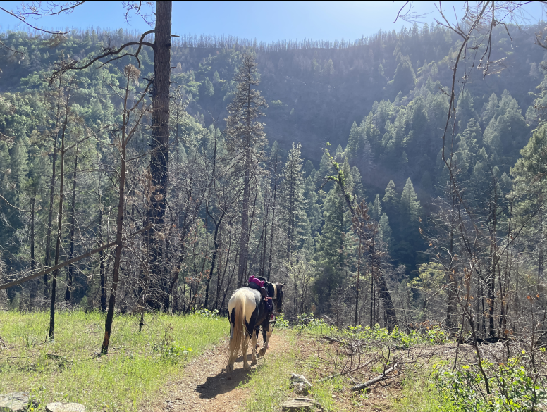
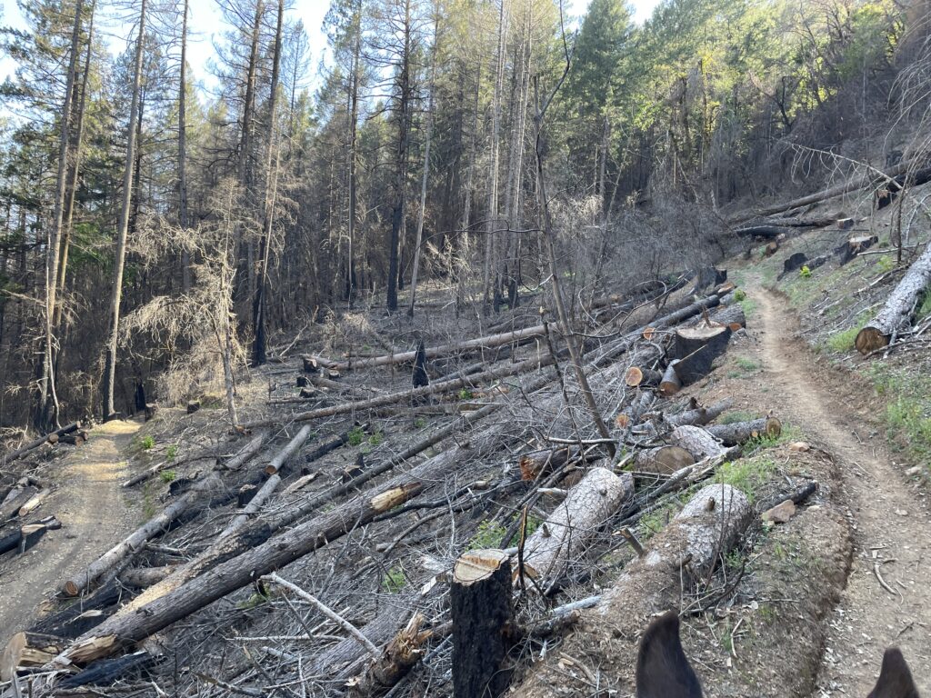
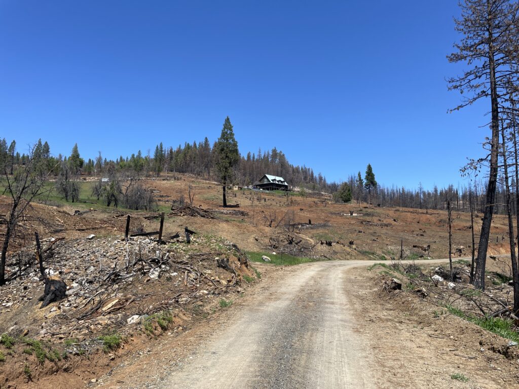
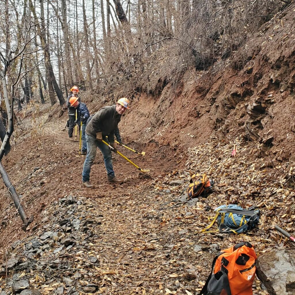
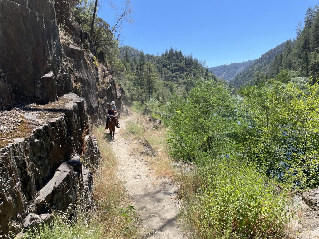
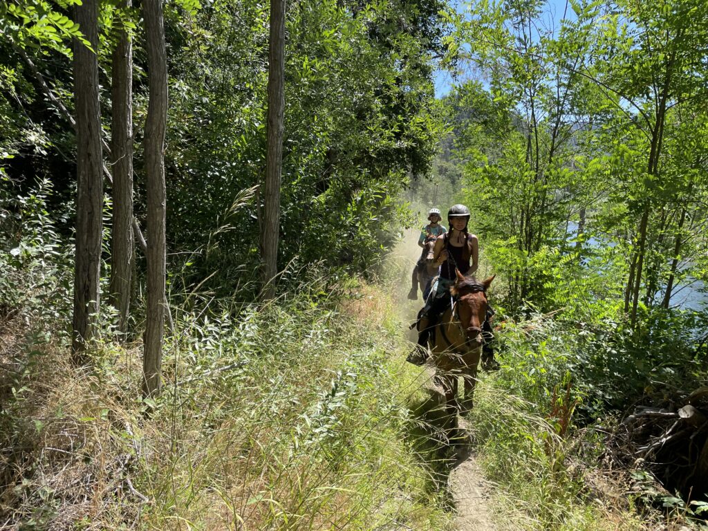
El Dorado Canyon
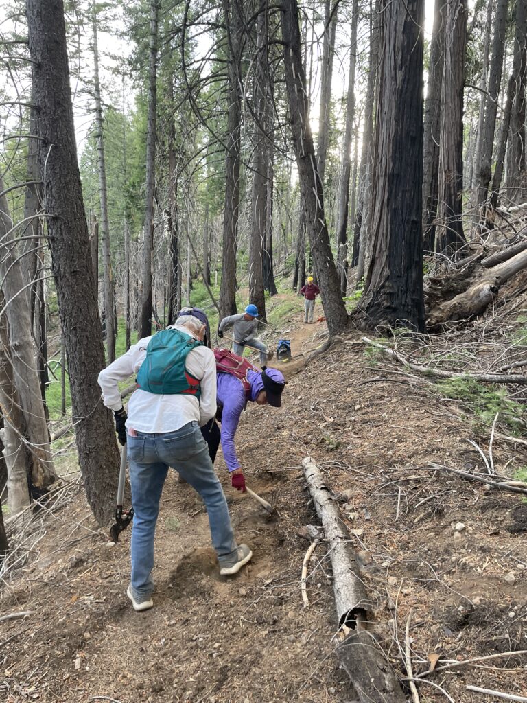
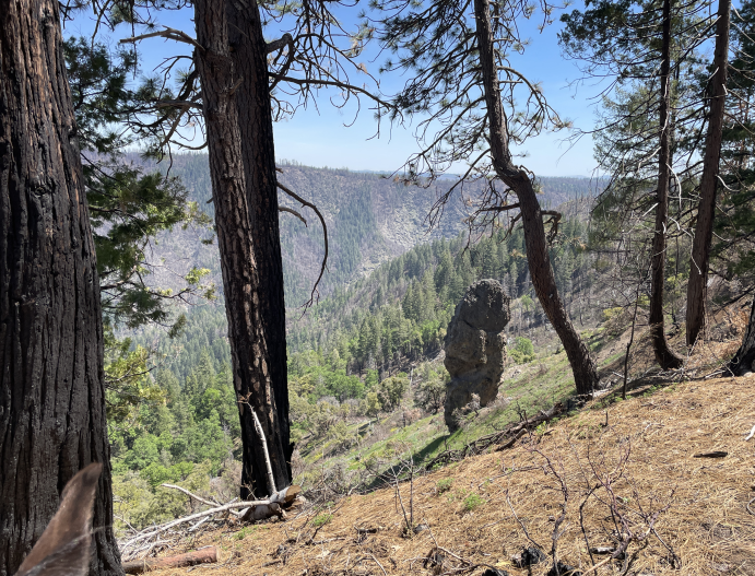
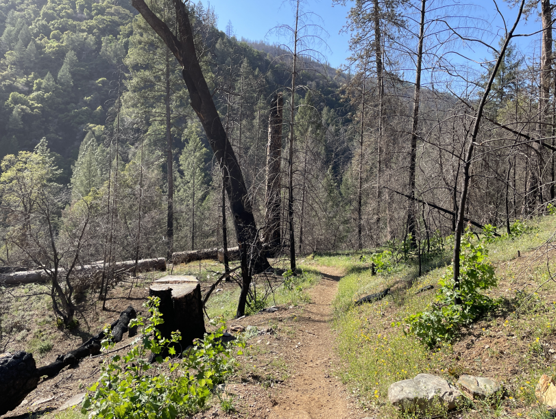
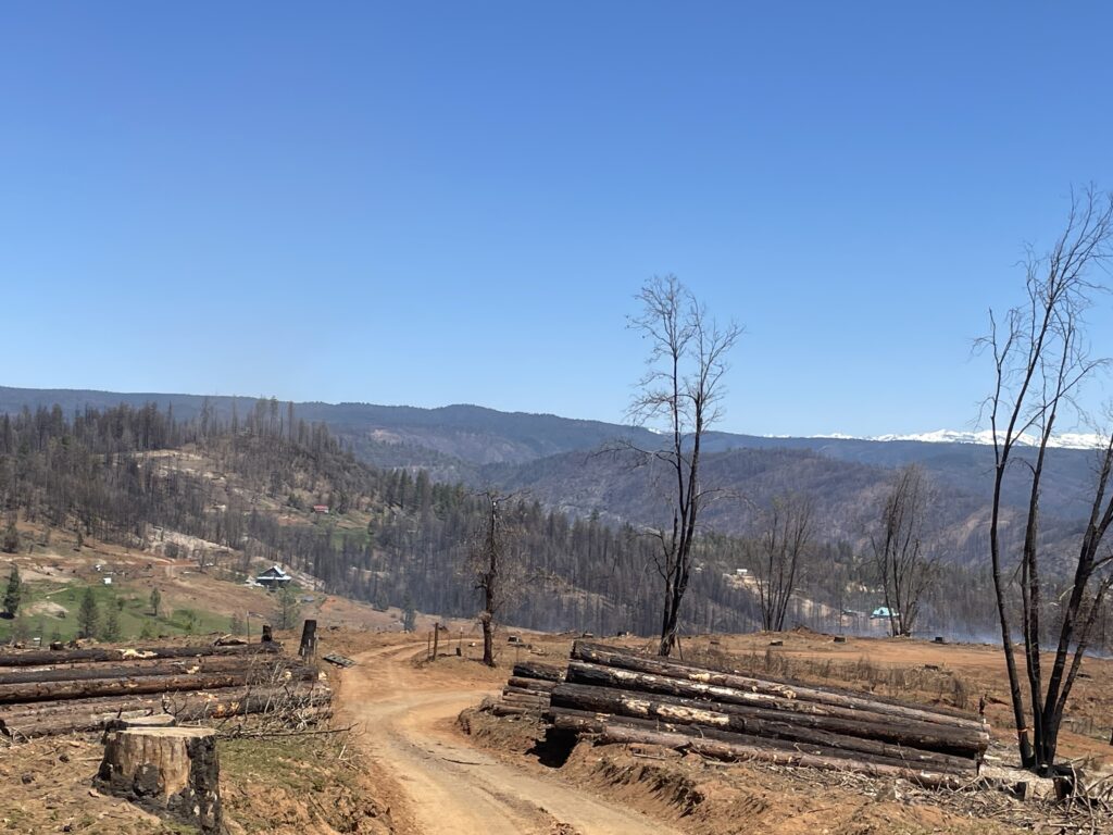
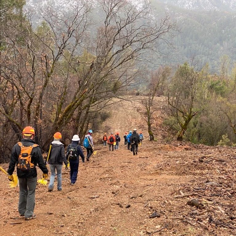
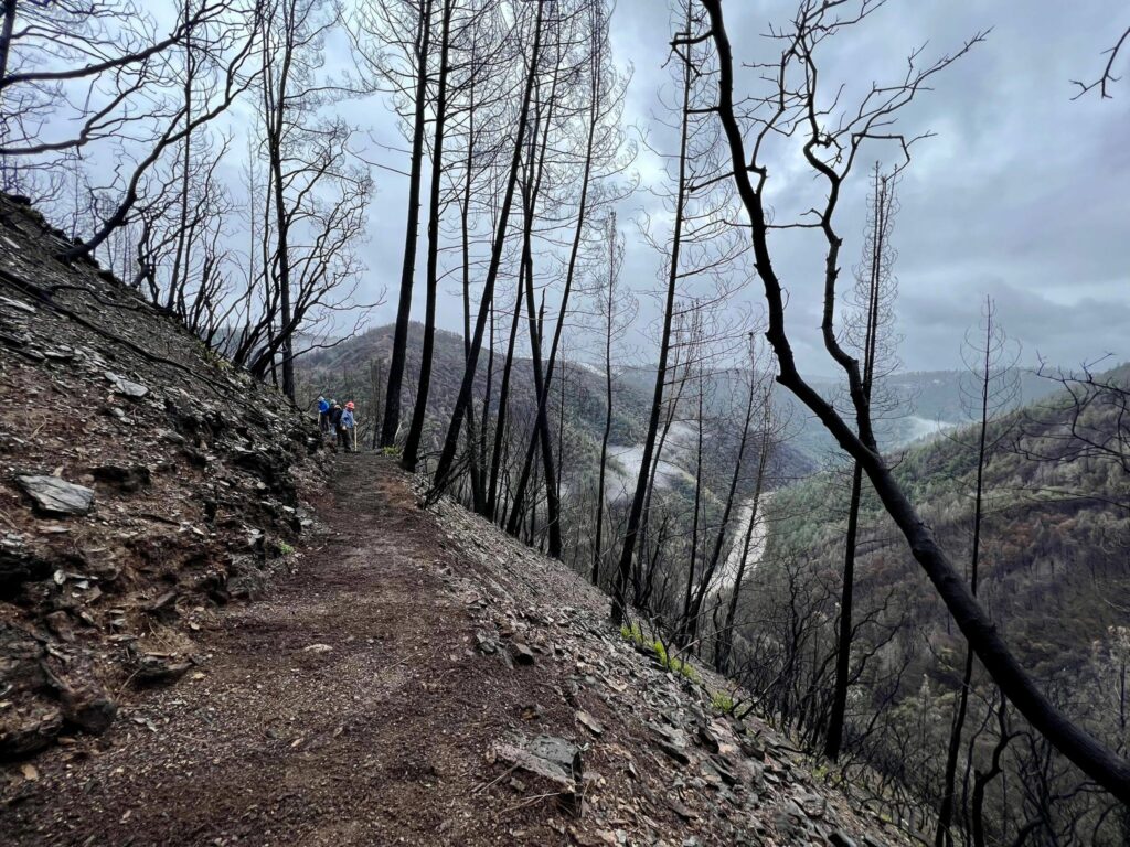
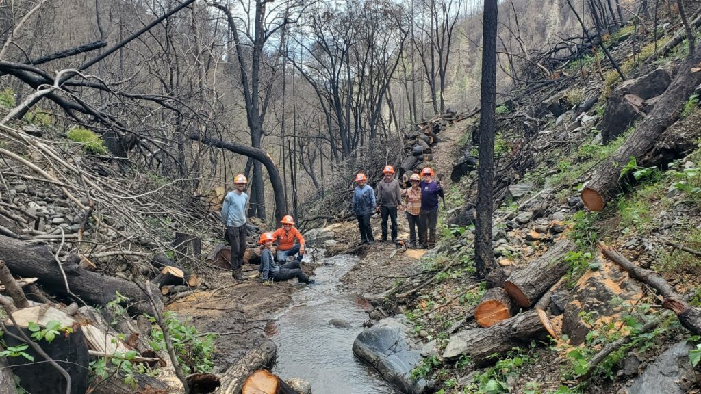
A tremendous amount of effort has been spent restoring the precipitous El Dorado Canyon due to damage from the Mosquito ridge fire and resulting erosion. WSTF and WSER teamed up with Sierra Buttes Trail Stewardship and USFS to get this work completed and race ready. The trail is in excellent shape with good footing. You can see where trail crews have worked on the uphill side and where, in some places, complete trail bed restoration was completed where the it had fallen away:
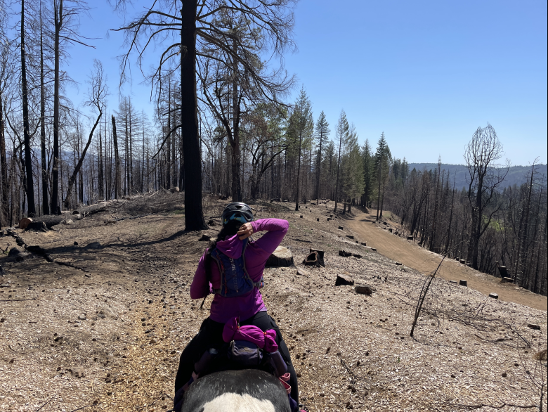
There are still patches of trees that didn’t burn, and everywhere you can see signs of regrowth. Many of the live oaks are bushing out from the bottoms of the burned trunks; the laurel are a several feet tall in places; the maples are starting to look lush; the grass is coming back in, and there were amazing wildflowers during the spring…
Alas, towards the bottom of the canyon, the poison oak and brambles are already starting to return.
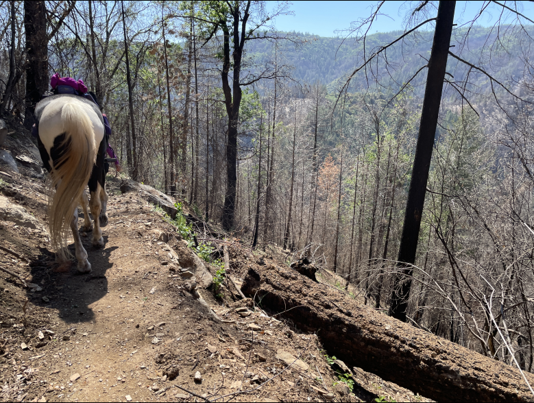
Whilst the trail is no longer “leafy”, it’s not barren either – and best of all, the whole way down, stupendous views have been revealed.
The mine railing towards the bottom of the canyon has been replaced
Regrowth beginnings – wild grape vines:
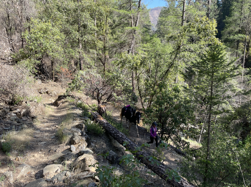
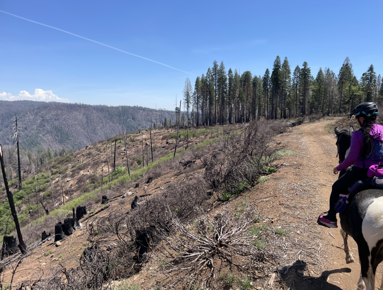
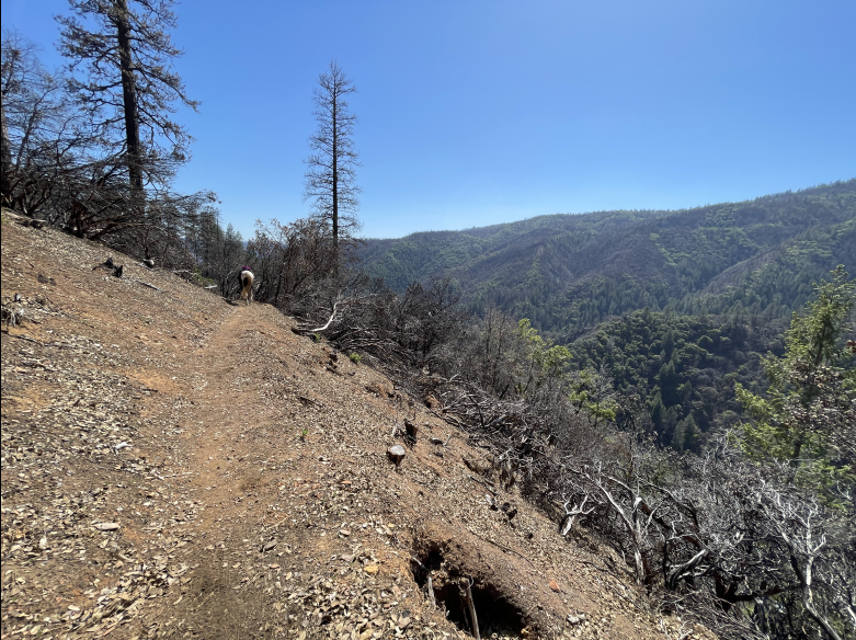
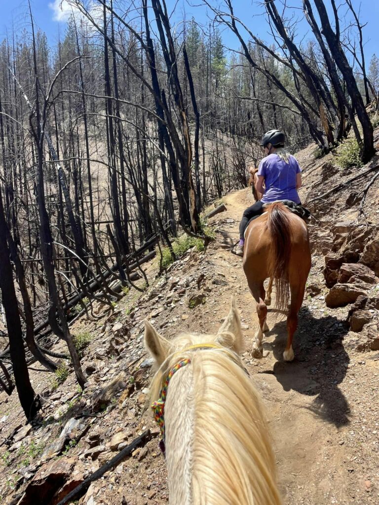
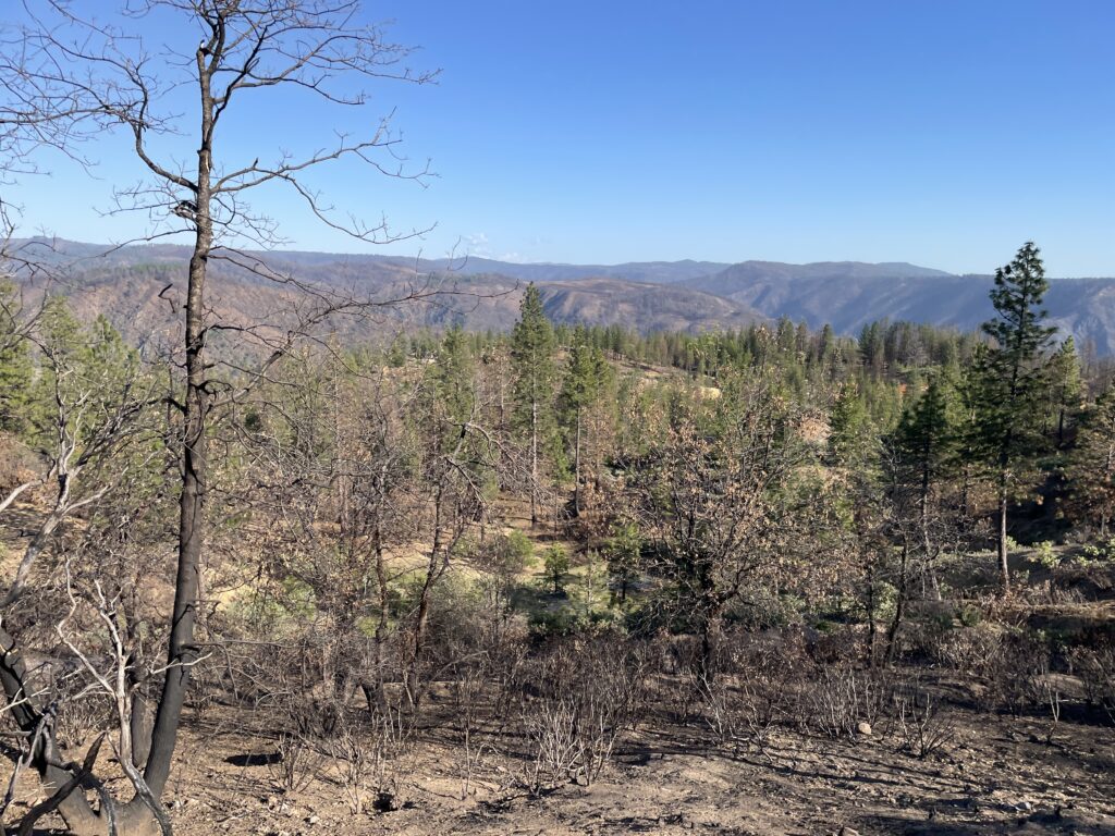
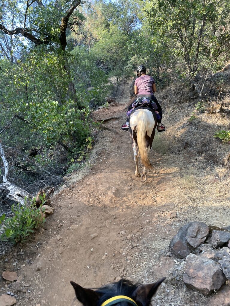
West Side of El Dorado Canyon
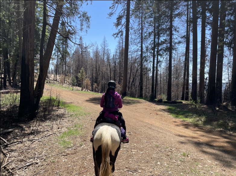
The fire burned hot on the west side of the canyon leading up to Michigan Bluff. The trailbed has had a lot of work—including the insertion of numerous water bars to help prevent future erosion—and is in great shape. Much of the top of this climb was always hot but with the loss of vegetation, the trail is even more exposed. However, once again there are many wide open vistas looking across the canyon.
Michigan Bluff
With the fire raging up the canyon, sadly some homes were lost on the outskirts of town. Thankfully firefighters were able to save the core part of Michigan Bluff.
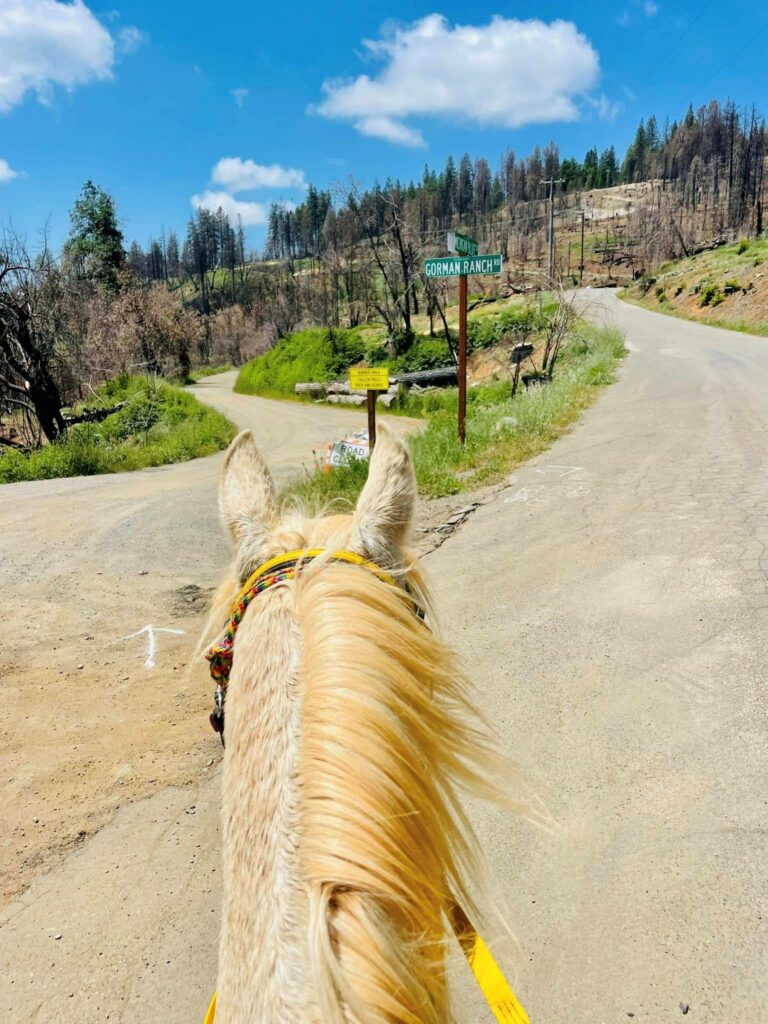
Gorman Ranch Road
Chicken Hawk Vet Check and Volcano Canyon
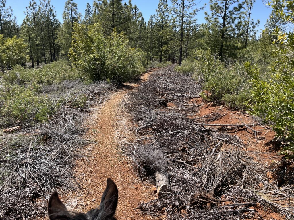
Thankfully both of these remain virtually unaffected by the Mosquito Fire. The trail on the way to Volcano Canyon actually received a welcome bed of woodchips as a result of some clearing of a fuel break trail.

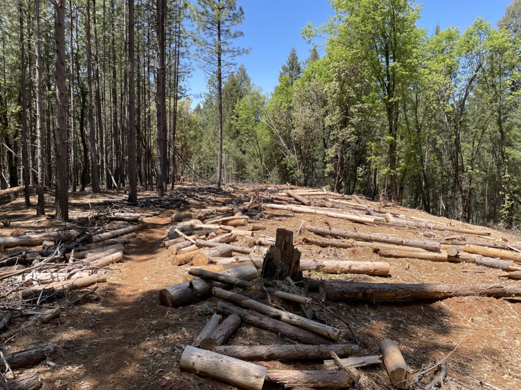
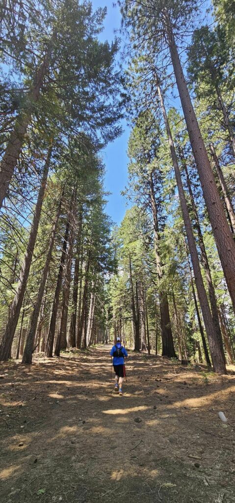
Foresthill – Cal-1
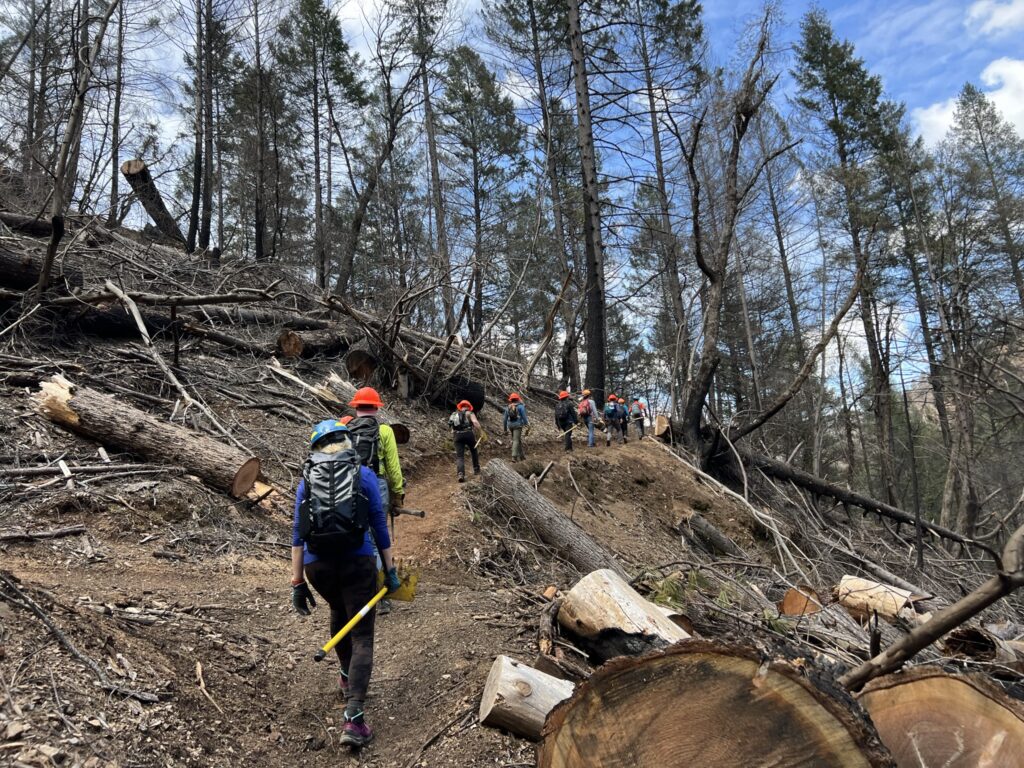
The origin of the Mosquito Fire in September of 2022 was near Mosquito Ridge Road almost due south of Michigan Bluff. The fire spread along the canyon to the west and ultimately overran the Cal 1/Dardanelles portion of the California Street Trail which burned hot and fierce. Despite the devastation, this helped to clear a lot of thick brush and because of the relatively low elevation, trail crews were able to get into the area as soon as the winter rains permitted. The trail bed work was completed by hard-working volunteers as far as “Cal 1”; and from there to Poverty Bar the trail was improved using a trail machine thanks to Auburn State Recreation Area trail crews and WST trail work volunteer days.
Although this section is usually ridden in the dark by all but the front-runners, because of this year’s adjusted course, all riders should enjoy the views along this improved trail.
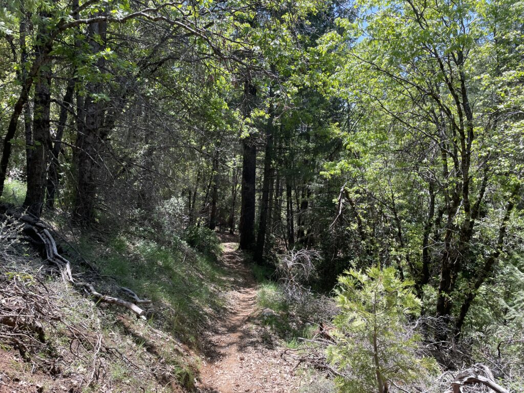
Cal-2
From Ford’s Bar to Sandy Bottom, the trail has been improved:
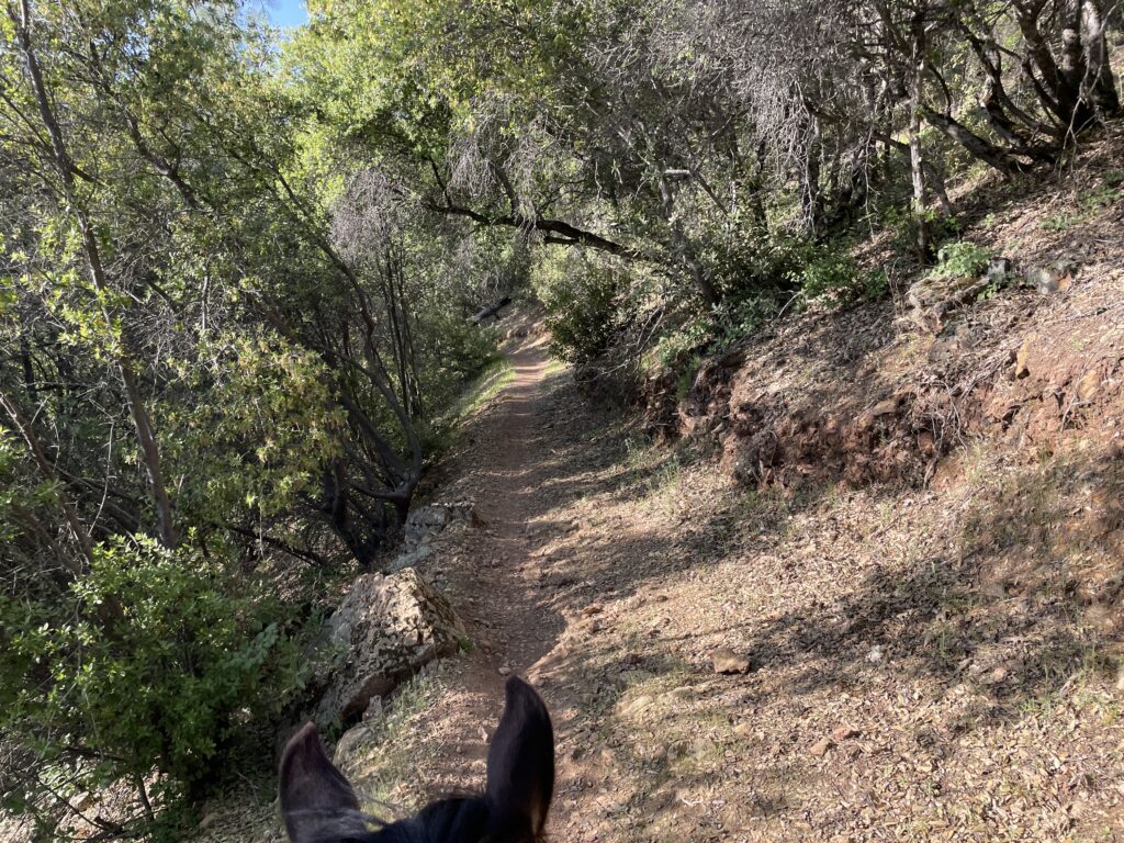
Francisco’s
The short section of trail after you leave Francisco’s has also received a make-over – many rocks removed and the overhanging brush cut back (photos show riding the trail in reverse):
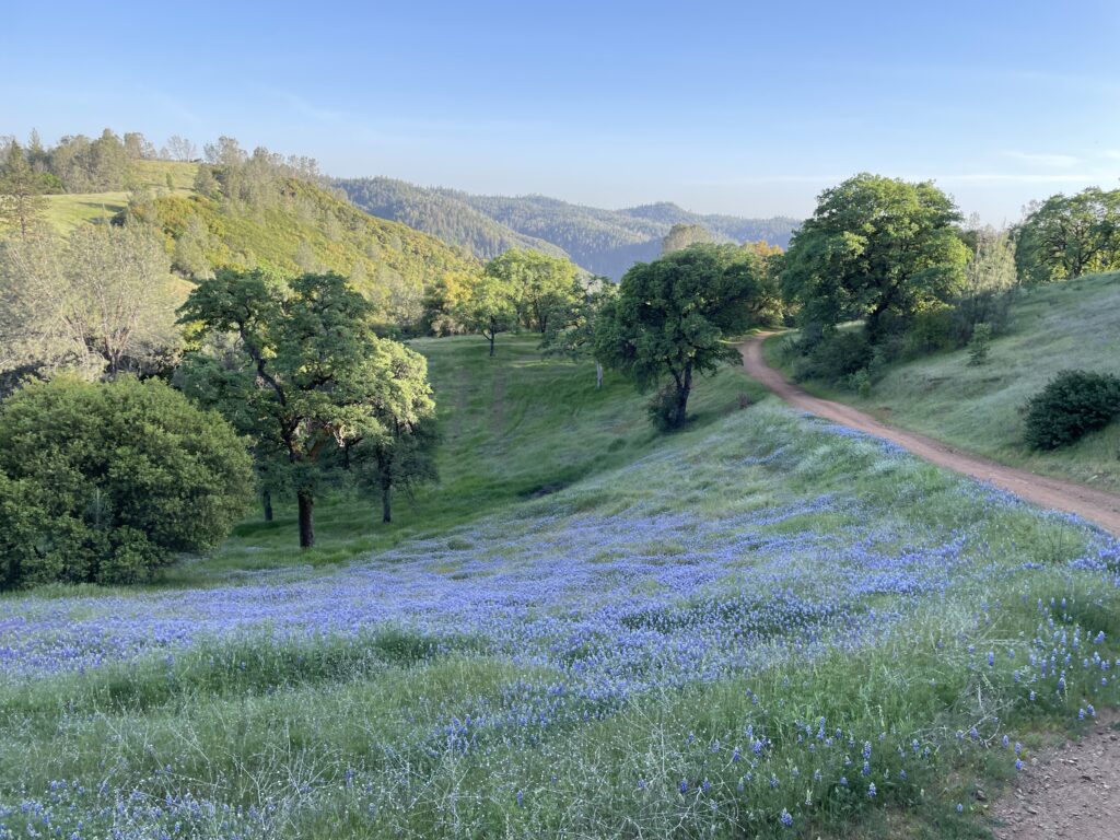
Foresthill Divide Loop
This year, due to high river levels, instead of following the singletrack trail to the Poverty Bar river crossing, riders will continue up Driver’s Flat Road – an 1,150 ft climb! – and turn onto the Foresthill Divide Loop (FHDL):
After five miles of the FHDL, riders will cross Foresthill Road to the north and pick up the Connector Trail – a singletrack trail under the trees which runs three+ miles to Lake Clementine Road. After crossing Lake Clementine Rd (a very quiet road, just used to access the lake), riders will continue along the ridge on the Fuel Break Trail before dropping down to Foresthill Rd for a second time.
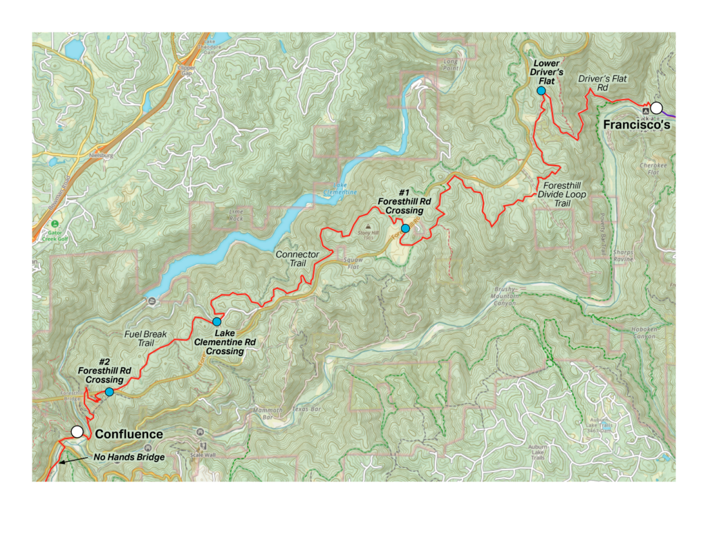
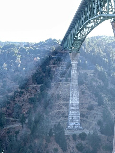
This will put riders at the east end of Foresthill Bridge – California’s tallest bridge, and fourth tallest in the US at 730 ft.
After crossing the highway to the south, riders will drop down onto a series of switchbacks below the bridge which ultimately brings them back down to river level. They will cross Old Foresthill Bridge at the bottom to the Confluence Vet Check – a new vet check for this year’s route (replaces Lower Quarry). Old Foresthill Road will be closed during the event to ensure rider safety.

After passing through the Confluence Vet Check, riders will continue along the pavement to the hw-49 bridge and cross the American River there. The highway crossings will have the appropriate safety measures to ensure safe passage.
Once they cross hw-49 bridge, riders will make an immediate right turn through the gate onto the track that leads directly to No Hands Bridge within a few hundred yards – and from there continue to the finish at the Overlook on the usual trail.