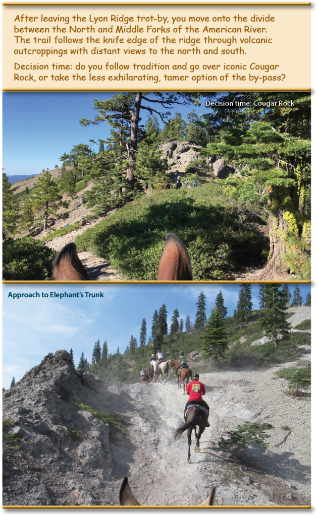
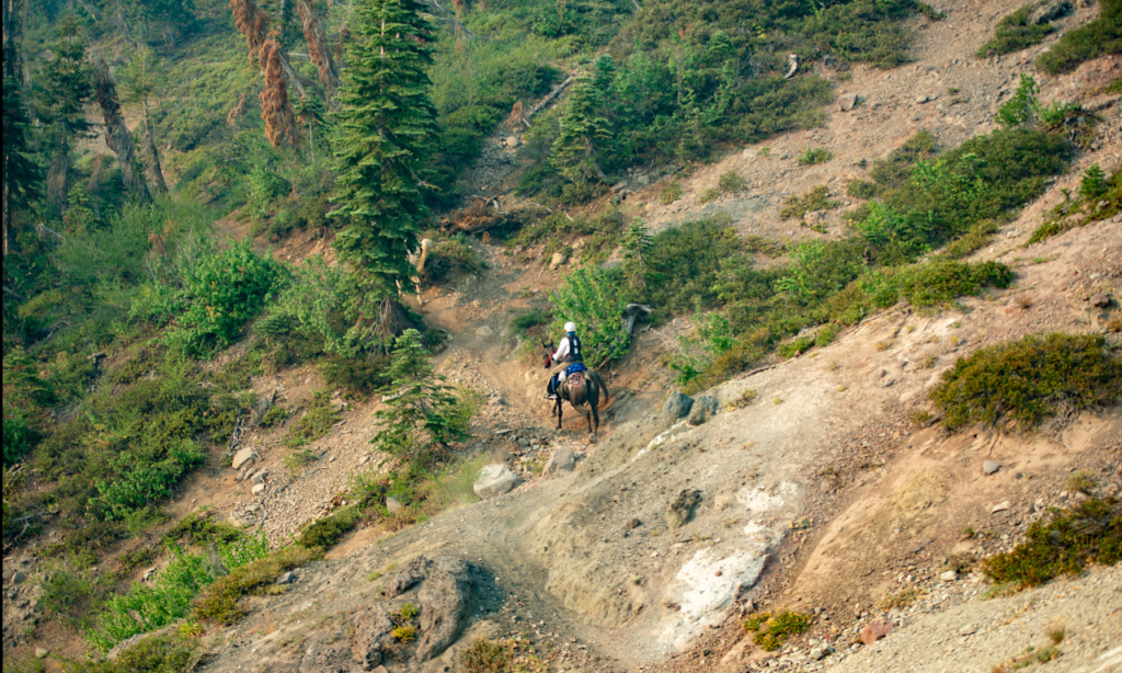
A couple of miles after Cougar Rock is another section of difficult trail known as Elephant’s Trunk. The name reflects the trail’s resemblance to the profile of an elephant’s trunk with a steep dip and incline.

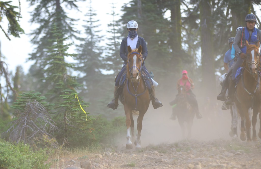
A short distance past Elephant’s Trunk is the trail’s intersection with the Baker Ranch-Soda Springs Road. At this juncture the trail forks in two directions – if you’re on the Western States RUN you turn to the southwest and cross US Forest Service Road 96 to travel 15 miles along Red Star Ridge and through the beautiful old growth forest of the Duncan Canyon to Robinson Flat. As the ride starts further to the east for the Tevis Cup Ride you will continue westward along the ridge road for about 7 miles to reach Robinson Flat (36 miles). This section of road can be a bit monotonous but is a great chance to let your horse trot along and make up some time. Keep an eye out for your crew as you get close, they’ll be waiting for you at Robinson Flat!
Note: skips in connection are from original live stream satellite feed
On June 19th to 24th 2016, the American Trail Running Association partnered with the Google Maps team to capture 360 degree panoramic “street-view” imagery of the entire Western States Trail using the Street View Trekker backpack:
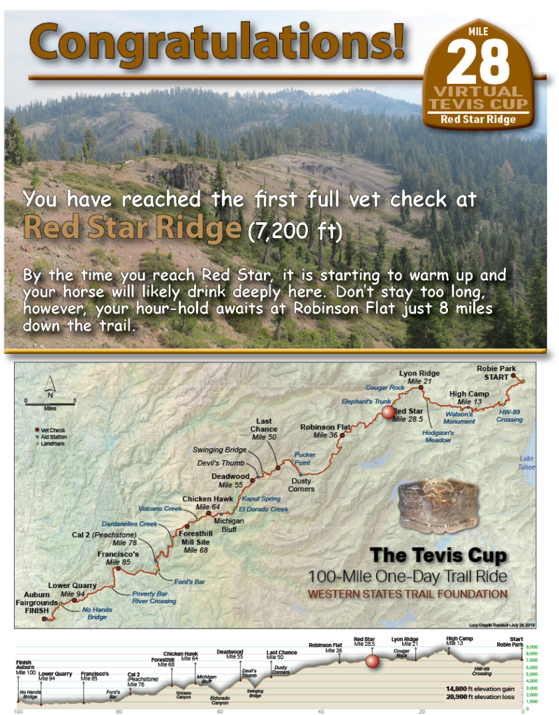
Red Star Ridge