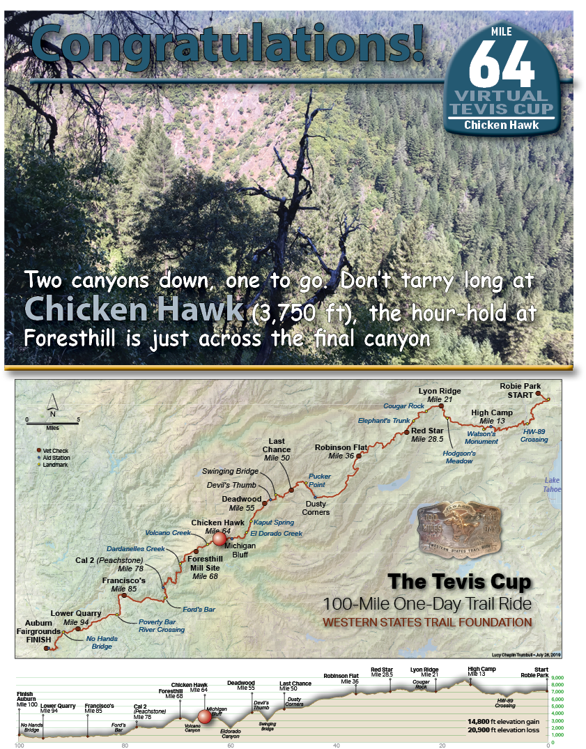
![Two canyons down, one to go. Don’t tarry long at Chicken Hawk (3,750 ft), the hour-hold at Foresthill is just across the final canyon.](https://teviscup.org/wp-content/uploads/2022/03/64-ChickenHawk1.png)
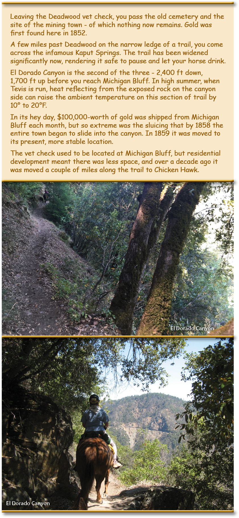
![Leaving the Deadwood vet check, you pass the old cemetery and the site of the mining town - of which nothing now remains. Gold was first found here in 1852. A few miles past Deadwood on the narrow ledge of a trail, you come across the infamous Kaput Springs. The trail has been widened significantly now, rendering it safe to pause and let your horse drink. El Dorado Canyon is the second of the three - 2,400 ft down, 1,700 ft up before you reach Michigan Bluff. In high summer, when Tevis is run, heat reflecting from the exposed rock on the canyon side can raise the ambient temperature on this section of trail by 10 to 20°F. In its hey day, $100,000-worth of gold was shipped from Michigan Bluff each month, but so extreme was the sluicing that by 1858 the entire town began to slide into the canyon. In 1859 it was moved to its present, more stable location. The vet check used to be located at Michigan Bluff, but residential development meant there was less space, and over a decade ago it was moved a couple of miles along the trail to Chicken Hawk.](https://teviscup.org/wp-content/uploads/2022/03/64-ChickenHawk2.png)
On June 19th to 24th 2016, the American Trail Running Association partnered with the Google Maps team to capture 360 degree panoramic “street-view” imagery of the entire Western States Trail using the Street View Trekker backpack:
Michigan Bluff
100 Miles - 1 Day - Trail Ride