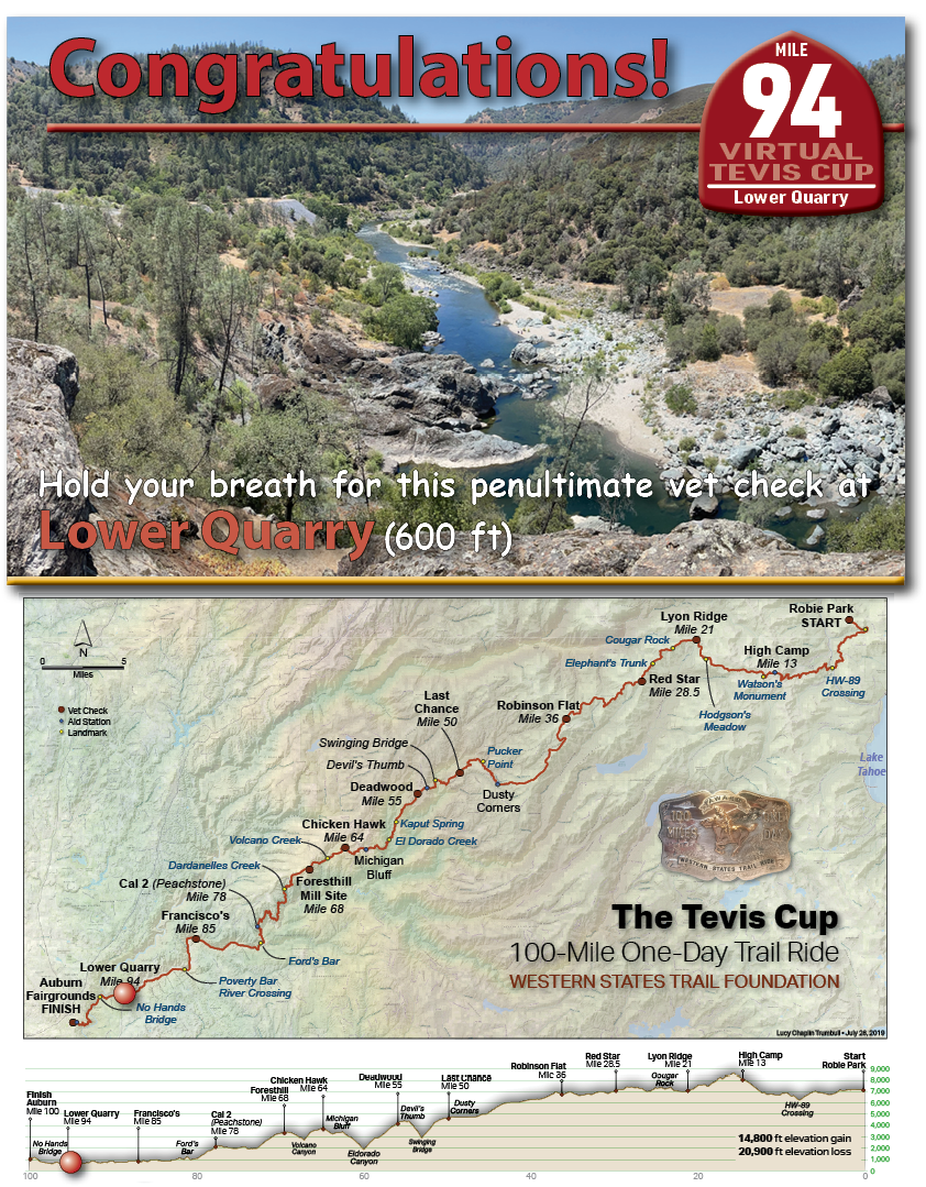
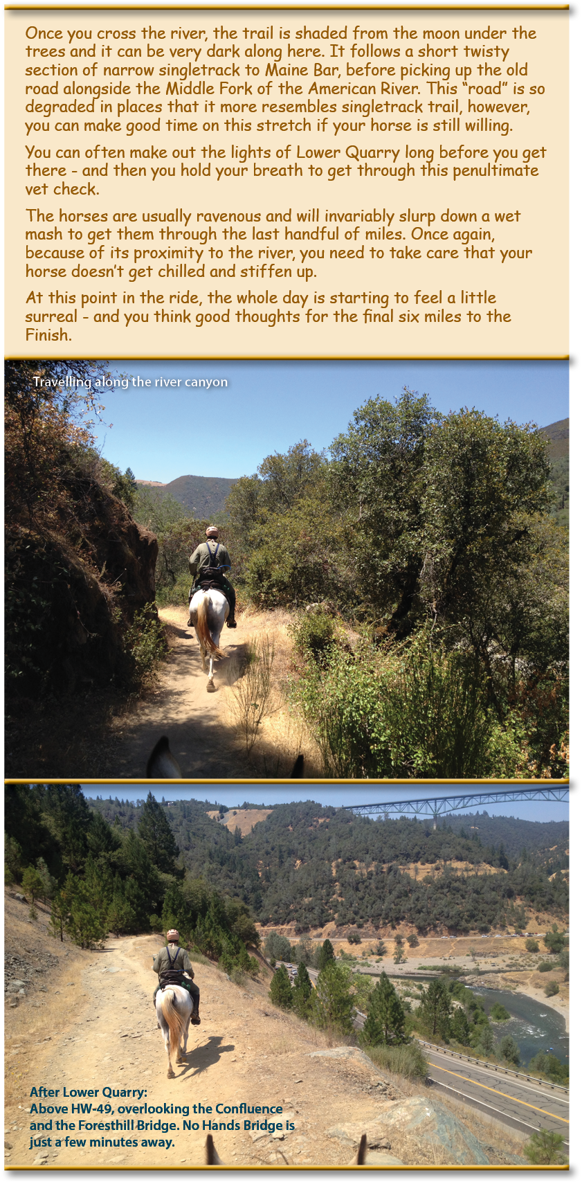
![Once you cross the river, the trail is shaded from the moon under the trees and it can be very dark along here. It follows a short twisty section of narrow singletrack to Maine Bar, before picking up the old road alongside the Middle Fork of the American River. This “road” is so degraded in places that it more resembles singletrack trail, however, you can make good time on this stretch if your horse is still willing.
You can often make out the lights of Lower Quarry long before you get there - and then you hold your breath to get through this penultimate vet check.](https://teviscup.org/wp-content/uploads/2022/03/94-LowerQuarry1.png)
![The horses are usually ravenous and will invariably slurp down a wet mash to get them through the last handful of miles. Once again, because of its proximity to the river, you need to take care that your horse doesn’t get chilled and stiffen up.
At this point in the ride, the whole day is starting to feel a little surreal - and you think good thoughts for the final six miles to the Finish.](https://teviscup.org/wp-content/uploads/2022/03/94-LowerQuarry2.png)
On June 19th to 24th 2016, the American Trail Running Association partnered with the Google Maps team to capture 360 degree panoramic “street-view” imagery of the entire Western States Trail using the Street View Trekker backpack:
River Road between Poverty Bar River Crossing and Lower Quarry*
(* Note that the Western States 100 Run trail differs slightly from the Tevis trail in this area due to their starting at Squaw Valley instead of Robie Park, so they need to make up miles. However, they follow the same course along this stretch of the river road.)