
On June 19th to 24th 2016, the American Trail Running Association partnered with the Google Maps team to capture 360 degree panoramic “street-view” imagery of the entire Western States Trail using the Street View Trekker backpack:
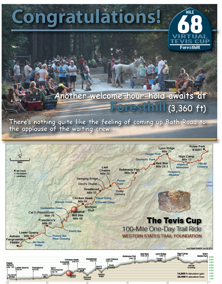
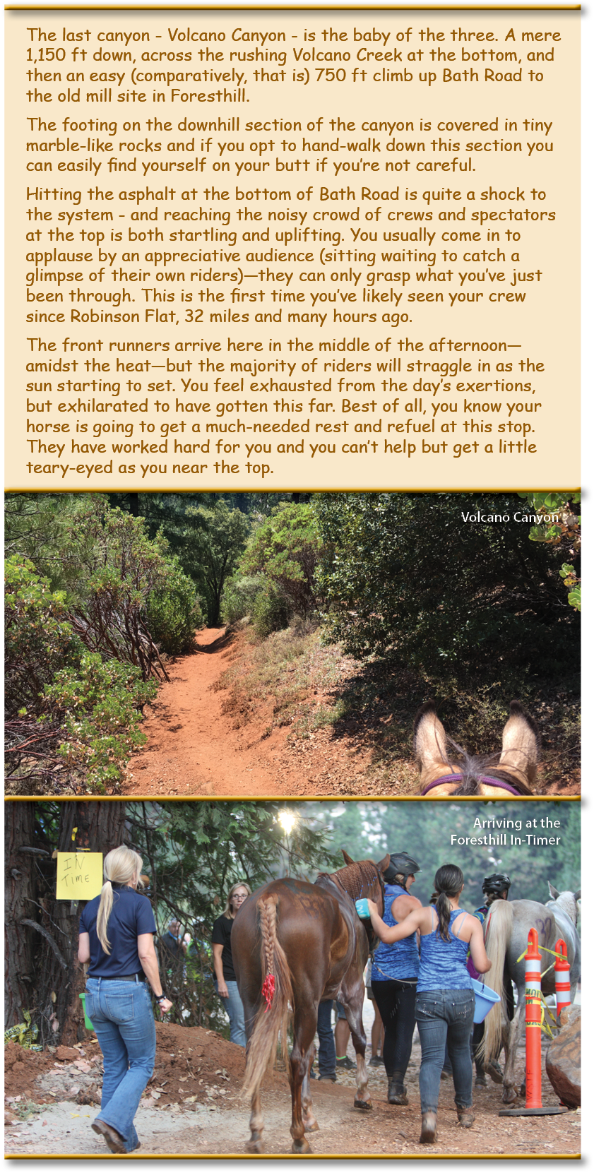
Coming up Bath Road*
(* Note the Western States 100 Run has their aid station a little further down the trail at the school, so this tracker bypasses the Mill Site at the top of Bath Road and continues out onto Foresthill Road).