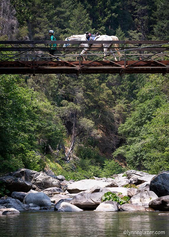
Swinging Bridge is one of several wooden bridges you cross during the ride – and is by far the most iconic. Provided you look straight ahead, you shouldn’t get the full effects of the motion sickness you sometimes get from crossing as it starts to sway.
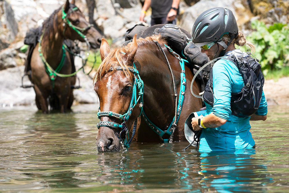
The river below the bridge is one of the prettiest spots on the whole trail, and, as long as you aren’t racing the clock, many take a much needed break by going down and getting their horse or mule into the water. You’ll need them to drink well and be as cool as possible for the long 1,500 ft / 460 m climb ahead up to Devil’s Thumb. There are more than 35 switchbacks on this next section and it’s possibly the hardest climb of the entire ride.

The trail from Last Chance follows a lumber road leading to the Pacific Slab Mine, which remained active longer than any other hydraulic mining operation in California. There are several cabins here, but the mine has not been worked for several years.
Here the narrow trail drops quickly down some 2,000 feet, which so many gold miners pioneered with picks, shovels and black powder.
It is not quite two miles down the switch back trail into the wooded canyon of the North Fork of the Middle Fork of the American River, with places so steep and stony that many riders dismount and run down, leading their horses.
At the bottom of the canyon is the so-called Swinging Bridge, suspended over the deep, swift flowing river. The water is crystal clear and the fishing grand. The thunder of the water is a pleasant sound.
In making the equally steep climb out of the canyon on well-graded switchbacks, riders may stop every three to four hundred yards, enabling their horses to catch their breath.
Near the top of the canyon wall is Devil’s Thumb, a landmark named for the hellish conditions that once existed here. The ‘thumb’ is a large volcanic rock outcropping standing nearly 50 feet in height.
Surrounding the ‘thumb’ is evidence of the Devil’s Basin hydraulic Sourdough and Basin mining pits that eroded the canyon side in the seemingly never-ending search for gold. Once in view of Devil’s Thumb you have nearly completed the long ascent from the deep canyon below.
The trail then follows the divide southwest toward the former town site of Deadwood, more than a mile from Devil’s Thumb. Deadwood is at the tip of this narrow mountain spur high above the yawning chasms of El Dorado Canyon and the North Fork of the Middle Fork of the American River.
On June 19th to 24th 2016, the American Trail Running Association partnered with the Google Maps team to capture 360 degree panoramic “street-view” imagery of the entire Western States Trail using the Street View Trekker backpack:
Swinging Bridge