Granite Chief Wilderness – Trail Reroute
Ensuring our Trail is Environmentally Sustainable
The U.S. Forest Service – American River Ranger District (USFS) has secured $800,000 in funding for the Granite Chief Wilderness Trail Reroute project through the Great American Outdoors Act (GAOA). The USFS, the Western States Endurance Run Foundation (organizers of the WSER), and the Western States Trail Foundation (organizers of the Tevis Cup Ride), worked together over several years to develop and gain approval of a plan for non-motorized alternative trail access through Granite Chief Wilderness. Planning activities culminated in a 2019 Decision Memo, issued by the USFS, that formalized the decision to proceed with the Project.
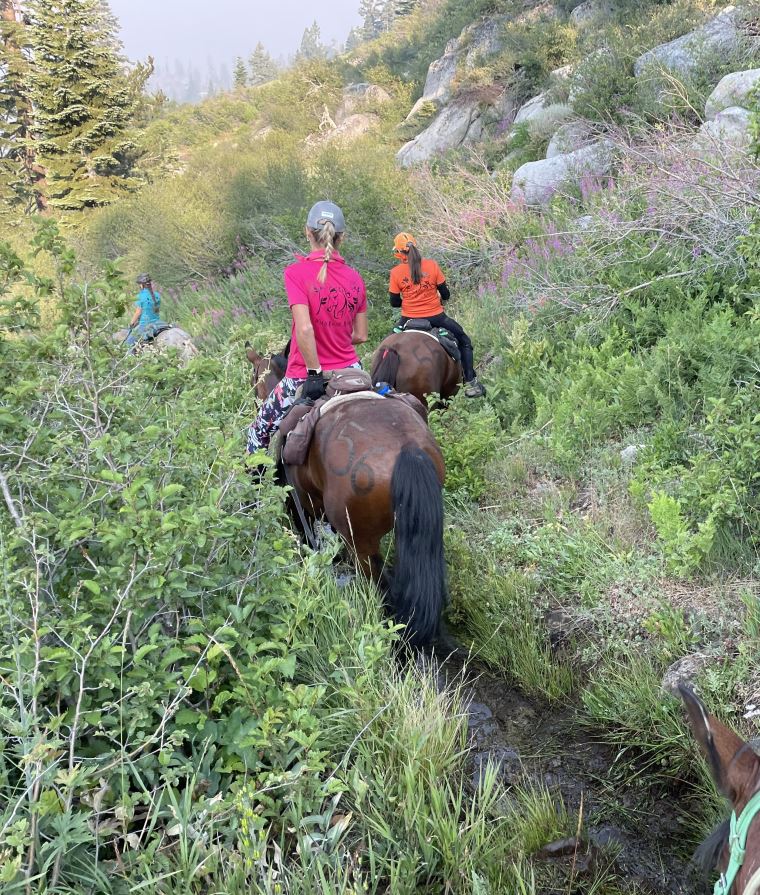
The Tevis Cup trail winds its way from Robie Park, north of Tahoe City; crosses hw-89; before skirting Olympic Valley (formerly Squaw Valley) to the south and climbing to the highest point on the route. Around 15 miles into the ride, shortly after cresting Watson’s Monument, the trail enters Granite Chief Wilderness for a little over six miles.
In recent years, the western portion of the trail has been rehabilitated to pull it in line with current USFS trail building specifications. Riders from the last few years will recognize the set of long switchbacks before you reach Hodgson’s Meadow (formerly the site of an old cabin) as a dusty portion of the trail that is still bedding in.

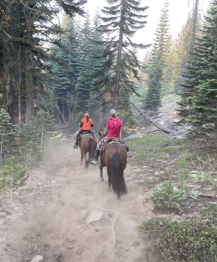
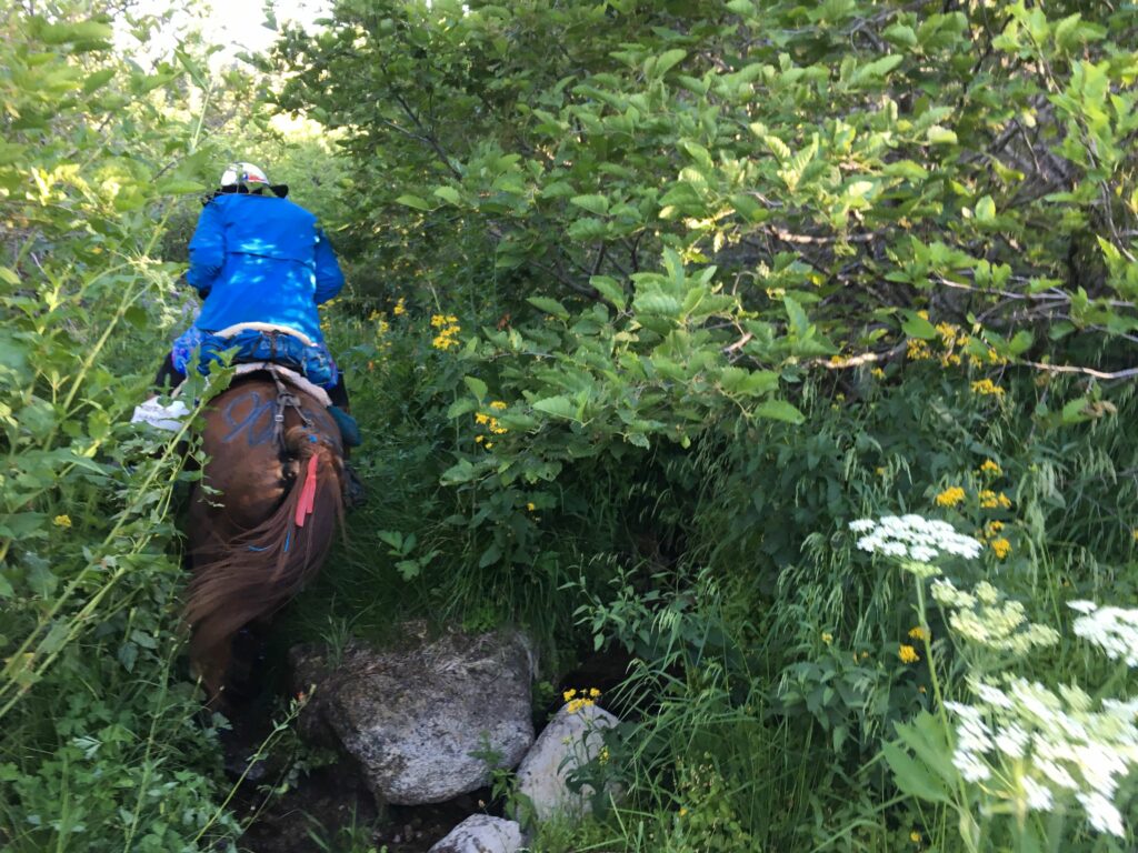
The eastern portion of the route, however, was built long before today’s trail building criteria were set in place – it is twisty, steep in places (up to 30% grades), eroded to deep dust that has become channelized – contributing to yet more erosion. It also crosses sensitive sub-alpine riparian terrain – aka the bogs. While WSTF has partnered with WSER and USFS over many years to maintain this trail, because of its lack of design, the trail has become increasingly challenging to keep in a usable condition.

The new reroute will avoid these areas by moving the trail 200-300 feet upslope to 8,200 ft, away from dense vegetation and the springs that feed these boggy areas, resulting in more than 5 miles of new trail along the ridge connecting Granite Chief, Needle and Lyon Peaks. The new trail will access alpine terrain that has not previously been accessible, which will afford stunning views to the south, east, and west. Unsustainable sections of the existing trail will be closed and vegetation in the affected area restored.


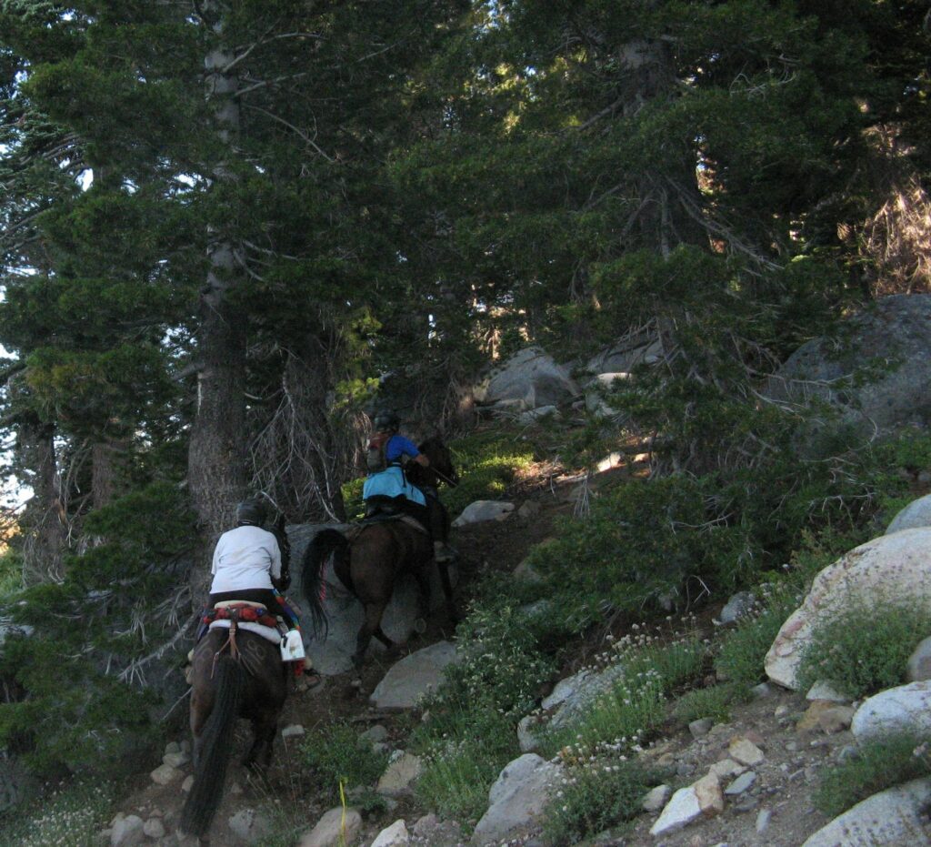
At approximately 2.5 miles into this new trail development, the USFS will be creating a trail out of a rock outcropping that would be too narrow for a horse to safely traverse, thus creating the need to drop back – via a short new connecting trail – and reattach to rehabilitated western portion of trail to Hodgson’s Meadow and on to the current Lyon Ridge Trot by.
I have been very excited about this new trail since I first walked it a few years ago. It will provide a more environmentally sensitive and sustainable way to traverse the Wilderness and substantially improve the views.
Craig Thornley, WSER Race Director
“This exciting new trail realignment project will require three years of hard work but will provide years of public enjoyment while at the same time protecting sensitive resources in federally protected wilderness. This project was originally identified in 1993 due to accelerated erosion and lack of trail design parameters but didn’t gain traction until 2016 when myself/WSER/WSTF representatives began initial ground-truthing. Obvious terrain and construction hurdles will make this a logistically challenging project but will benefit the American public for years to come. A mentor of mine used to say “just go out there and make it better”, I truly feel that’s what we are going to accomplish with this legacy project and I welcome any and all who would like to be part of it.”
Matt Brownlee
USFS District Trails ManagerTimeline:
Because the area is usually covered by snow from October to June, field workers only have a narrow window to complete the trail work. It has been scheduled for the the summers of 2022, 02023, and 2024. A 20-person professional trail crew will live in the Wilderness and work 5 days each week, for a total of 14 weeks. On weekends volunteer trail crews will perform work commensurate with their skill level. For the summers of 2022 and 2023 access has been arranged with the Palisades Tahoe Resort (formerly Squaw Valley Resort), and trail workers will use Palisades Tahoe maintenance roads to bring supplies and personnel into the Wilderness from the east. For the summer of 2024 access will be from the northwest edge of the Wilderness using Forest Service Road 51 from Soda Springs.
The USFS has estimated the Project will cost $1,350,000 (about $35/foot). With $800,000 in GAOA funding, there will be $550,000 in uncovered costs – the WSER is presently pursuing other grants that would reduce the amount of uncovered costs and will start fund raising to further close the cost gap, while WSTF has committed to adding $62,000 over two years to this project.
to help with this and other trail projects